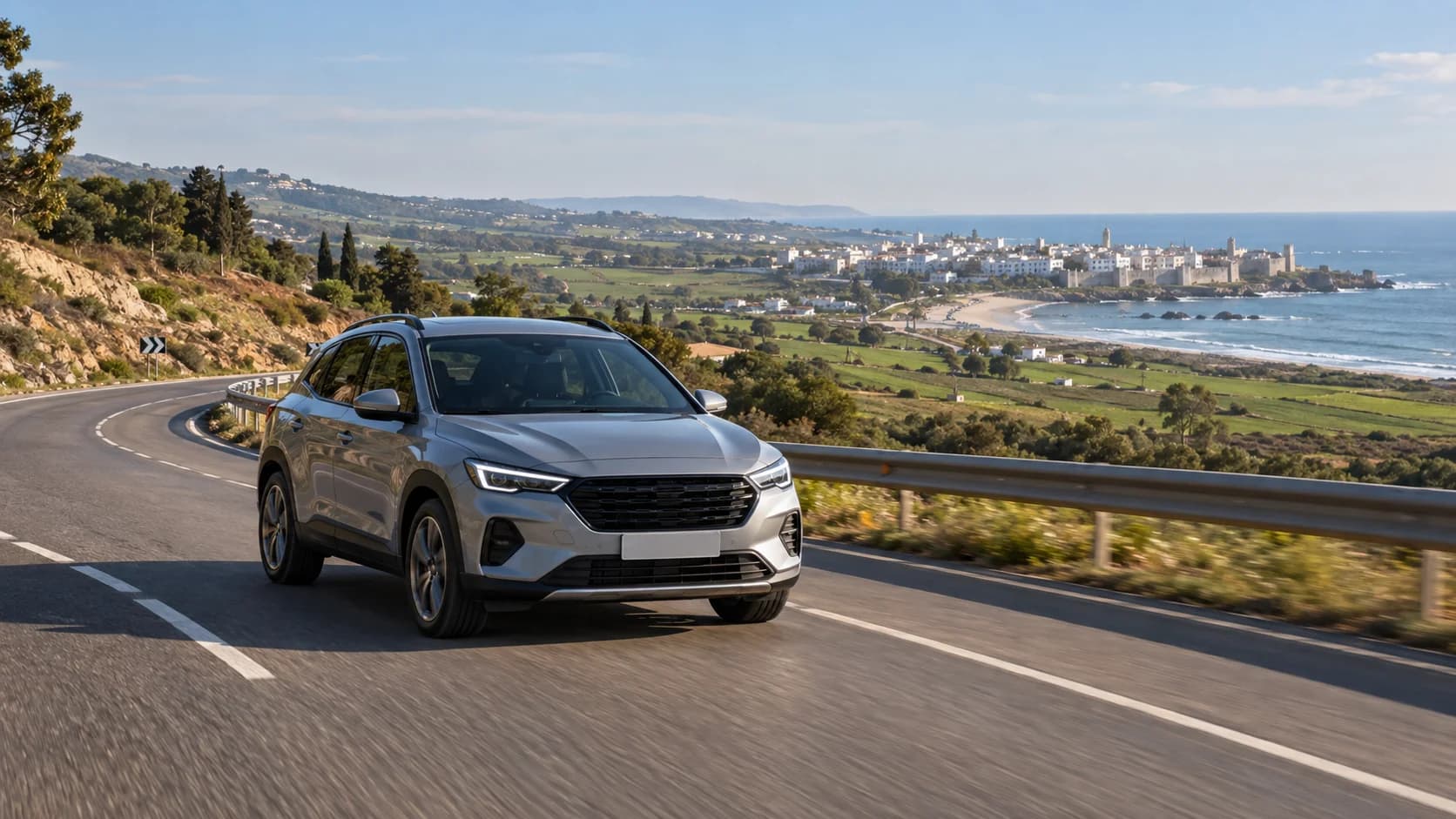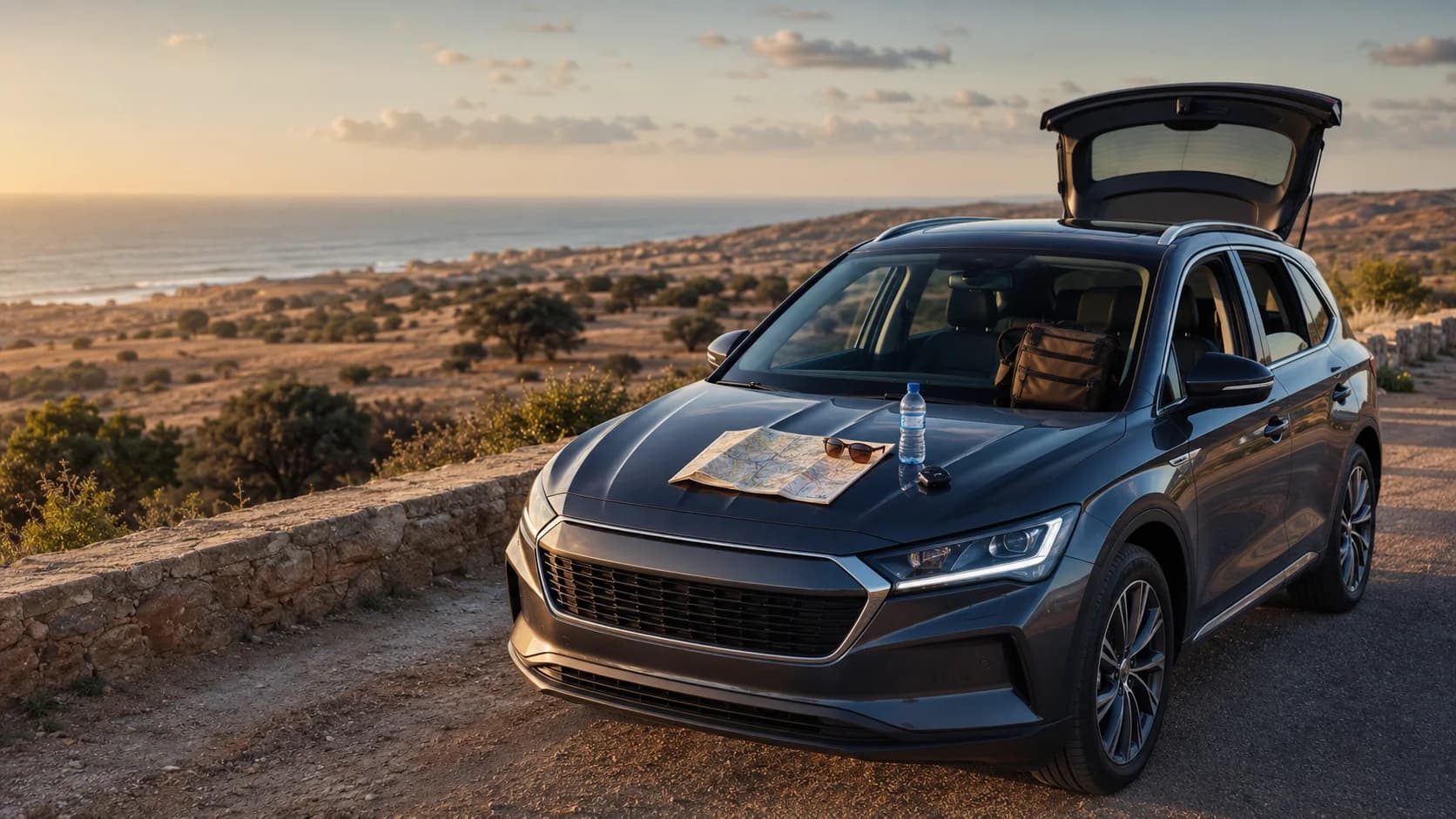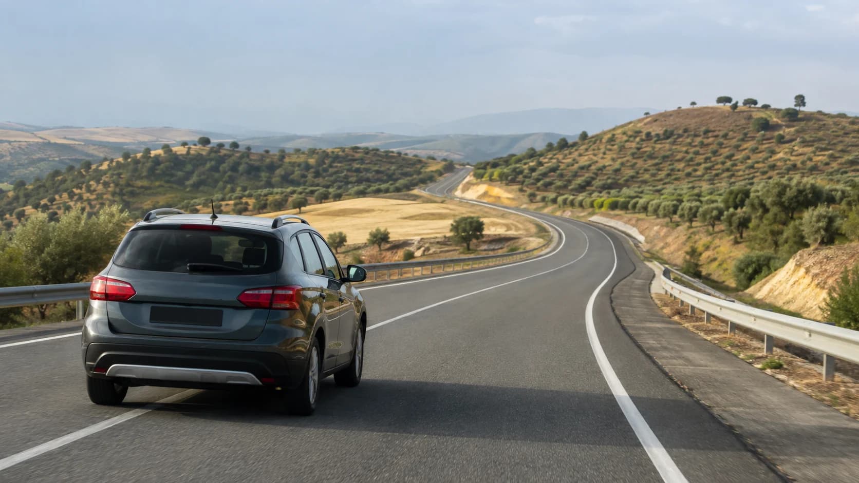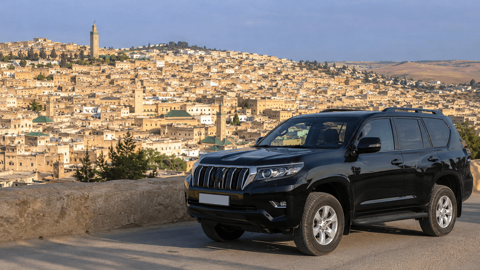









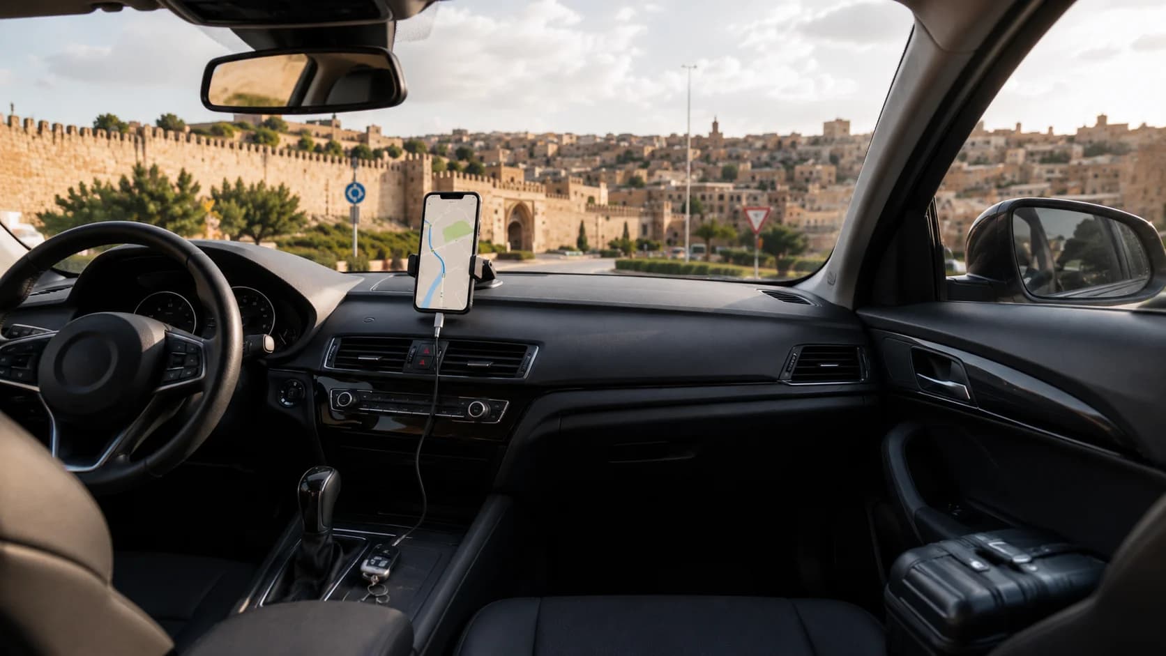
Yes, Google Maps works well in Morocco, including Fes, main highways, airport routes and most day-trip roads. For the best experience, download offline maps before you drive, buy a local SIM or eSIM for live traffic and rerouting, and always check road signs alongside your phone. Around the Fes medina, do not rely on GPS to take you to the door of a riad. It is better to navigate to a nearby gate, parking area or agreed pickup point, then continue on foot.
Does Google Maps work in Morocco?
Google Maps works in Morocco and is one of the easiest tools for visitors driving from Fes. You can use it for airport pickup routes, city driving, highway journeys, petrol stations, hotels, restaurants and road trips to places like Ifrane, Meknes, Volubilis, Chefchaouen or the Middle Atlas.
For most travelers, the best setup is simple: use Google Maps as your main navigation app, keep an offline map saved on your phone, and use mobile data when available for live traffic and rerouting. Google confirms that downloaded offline areas can still guide you when the internet is slow or unavailable, as long as the full route is inside the saved offline map. Offline mode does have limits: when you are offline, you do not get live traffic, alternate routes, walking directions, cycling directions or public transport directions.
This matters in Morocco because some rural areas, mountain roads and old-city streets can have weaker signal. A route from Fes to Ifrane may be easy to follow, but a smaller road outside the city can become confusing if your phone suddenly loses data. Offline maps Morocco planning is therefore not only useful for tourists. It is a smart habit for any Morocco road trip.
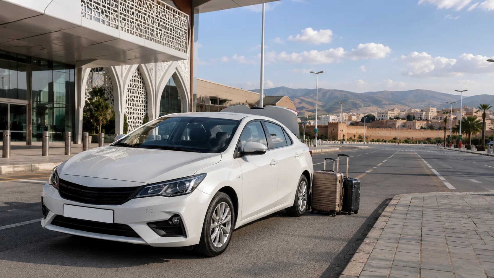
For car pickup, MarHire Car Fes can also help you set the first route before you leave. If you are collecting a vehicle at the airport, you can book through car rental Fes airport and ask for practical local advice before starting your journey.
Downloading offline maps before you drive
The best time to download your offline map is before your trip begins, ideally on hotel Wi-Fi or before arriving in Morocco. Do not wait until you are standing outside the airport or already on the road.
For Fes, download a map area that includes:
Fes city and Fes-Saiss Airport
The road to Meknes and Volubilis
The road to Ifrane and Azrou
Your hotel or riad area
Your planned day-trip destinations
Your return route to the airport
In Google Maps, choose “Offline maps,” select your own area, adjust the box around Fes and the surrounding region, then download it. Google Maps also allows offline maps to be updated, renamed or saved to storage depending on your device settings.
Do not download only the exact city center. If you are driving from Fes to another destination, make sure the entire route is covered. Offline navigation works best when your start point, destination and road between them are all inside the downloaded area.
A useful tip is to save key locations before driving. Add your hotel, airport, parking area, fuel station, MarHire pickup point and return point to your saved places. If the internet drops, these saved pins make it much easier to keep your route under control.
SIM cards and data for navigation
A local SIM card or eSIM is strongly recommended for navigation Morocco road trip planning. Offline maps are useful, but mobile data gives you live traffic, updated routes, search results, reviews, fuel stations and the ability to message support if needed.
Morocco has several mobile operators, including Maroc Telecom, Orange and inwi. A 2026 Opensignal mobile network report shows strong time-on-network results for major Moroccan operators, with users connected to 3G, 4G or 5G most of the time across the tested networks. Still, rural and mountain coverage can vary, so offline maps remain important.
For driving around Fes, a basic data package is usually enough for navigation, WhatsApp, hotel messages and route searches. You do not need a huge data plan just for GPS, but you should have enough data for live maps, photos, calls and possible changes during the trip.
Buy your SIM or eSIM before a long drive, not halfway through the journey. Test that mobile data works, open your map app, check your route and confirm that your phone is not stuck on roaming restrictions.
Built-in GPS vs your phone
Some rental cars may offer built-in GPS, but for most travelers, a phone is easier and more up to date. Your phone already has your saved places, hotel booking, WhatsApp messages, flight details and favorite navigation app. It also updates faster than many built-in car systems.
Built-in GPS can still be useful as a backup, especially if your phone battery dies or your mobile data stops working. But for daily driving in Fes, Google Maps Morocco offline navigation on your phone is usually the most practical choice.
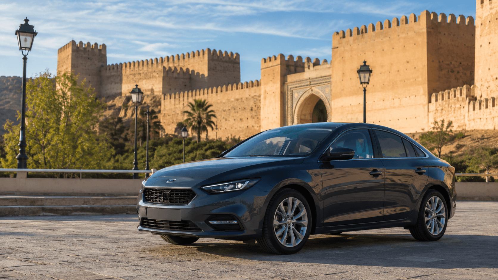
The best option is to combine both when available: use your phone as the main tool and the car screen or built-in system as a secondary reference. If you are renting a comfortable road-trip car such as a sedan rental Fes, ask during handover whether the vehicle has USB, Bluetooth, Apple CarPlay, Android Auto or a phone mount.
Reading road signs alongside the map
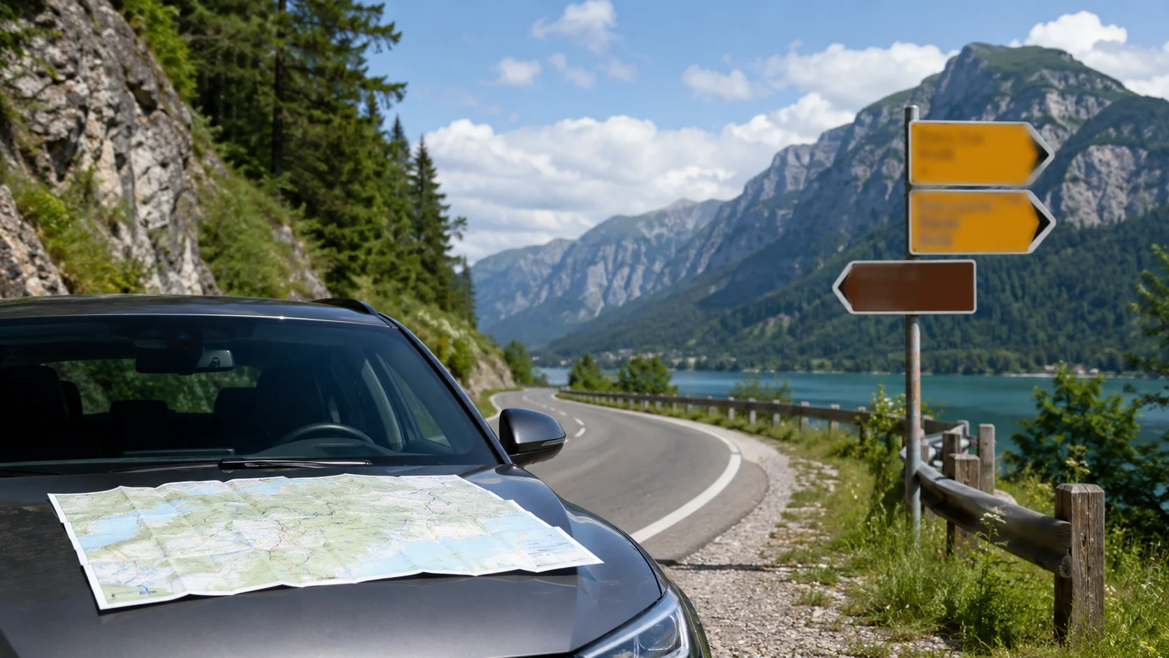
Do not follow your GPS blindly in Morocco. Maps are helpful, but road signs are still important. In Fes and across Morocco, signs are often written in Arabic and French. Major destinations are usually easy to identify once you know the French spellings: Fès, Meknès, Ifrane, Rabat, Casablanca, Tanger and Marrakech.
Before you drive, check the road number and destination direction, not only the blue navigation line. For example, if your route leaves Fes toward Meknes, your map may update several times, but the road signs toward Meknès or Rabat can confirm that you are still heading the right way.
This is especially useful at roundabouts, highway exits and roadworks. If Google Maps tells you to turn but the physical sign shows a closed road or different diversion, follow the safe road instructions first. Then let the app reroute.
Why journeys take longer than estimated
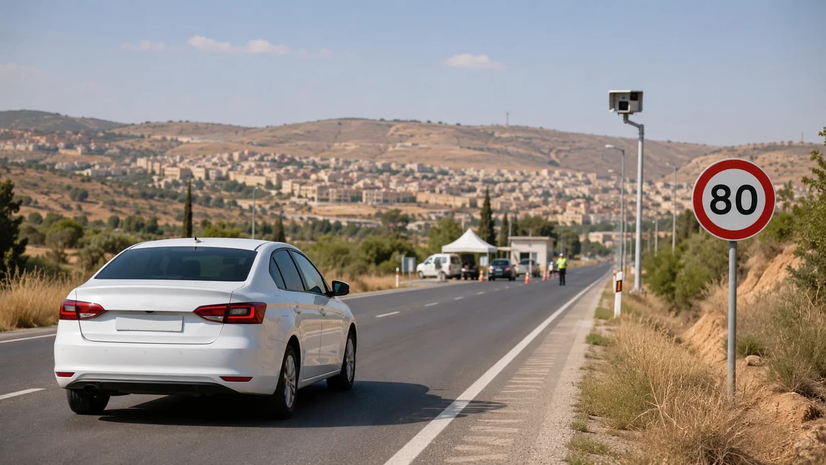
Google Maps can give a good estimate, but driving times in Morocco are not always exact. A route may take longer because of roundabouts, city traffic, police checkpoints, fuel stops, mountain roads, market traffic, parking delays or slow vehicles on rural roads.
Around Fes, allow extra time when leaving the city, returning to the airport, driving near the medina, or heading into the Middle Atlas. Even if the distance looks short, the real journey can feel slower than expected.
For day trips, do not plan every minute too tightly. If Google Maps says a destination is 1 hour 30 minutes away, give yourself a buffer. This makes the drive more relaxed and safer, especially if you are unfamiliar with Moroccan road signs, speed limits and local driving style.
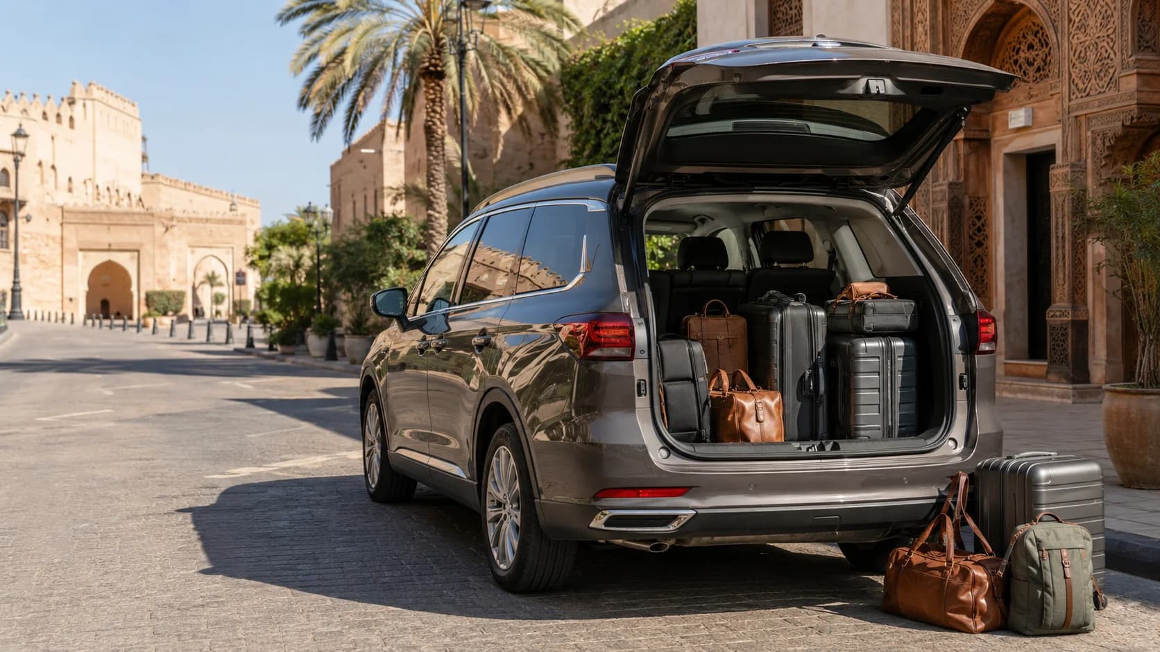
For longer routes or family trips, a larger car may be more comfortable. You can compare SUV rental Fes options if you are driving with luggage, children or several passengers.
Navigating around the car-free medina
Fes is famous for its old medina, and it is one of the main reasons travelers visit the city. The Moroccan National Tourist Office describes the Fes medina as the oldest and largest city in Morocco, full of crafts, historic streets and traditional life. UNESCO also describes the Medina of Fez as one of the most extensive and best conserved historic towns of the Arab-Muslim world.
For drivers, this means one important thing: do not expect to drive directly to every riad, shop or restaurant inside the medina. Many lanes are too narrow for cars, and some areas are better reached on foot from a gate or parking area.
When navigating to the Fes medina, search for a gate, parking point or nearby landmark instead of the exact door. Common arrival points include medina gates, riad meeting points and public parking areas near the old city. If you are staying in a riad, ask them where drivers should stop. Many riads will give you a specific gate or meeting location.
Do not enter a narrow street just because the app shows a line. If the road looks too tight, busy or pedestrian-only, stop safely and reassess. In Fes, a local instruction from your riad or car rental team can be more useful than the final 200 meters on the app.
Backup navigation tips
Good navigation is about having a backup before something goes wrong. Your phone may lose signal, overheat, run out of battery or struggle to find the exact location in the medina. A few simple habits can prevent stress.
Take screenshots of your route before you drive. Save your hotel address in both English and French if possible. Keep the phone number or WhatsApp contact of your rental agency and accommodation. Download offline maps for every area you plan to visit, not just Fes city.
It is also useful to save parking locations. When you park near the medina, at a viewpoint or in a busy area, drop a pin on your map. This makes it easier to find the car again, especially after walking through the old city.
For longer journeys, carry a charging cable and power bank. A paper note with your hotel name, city and phone number can also help if your phone stops working.
Mounting your phone safely
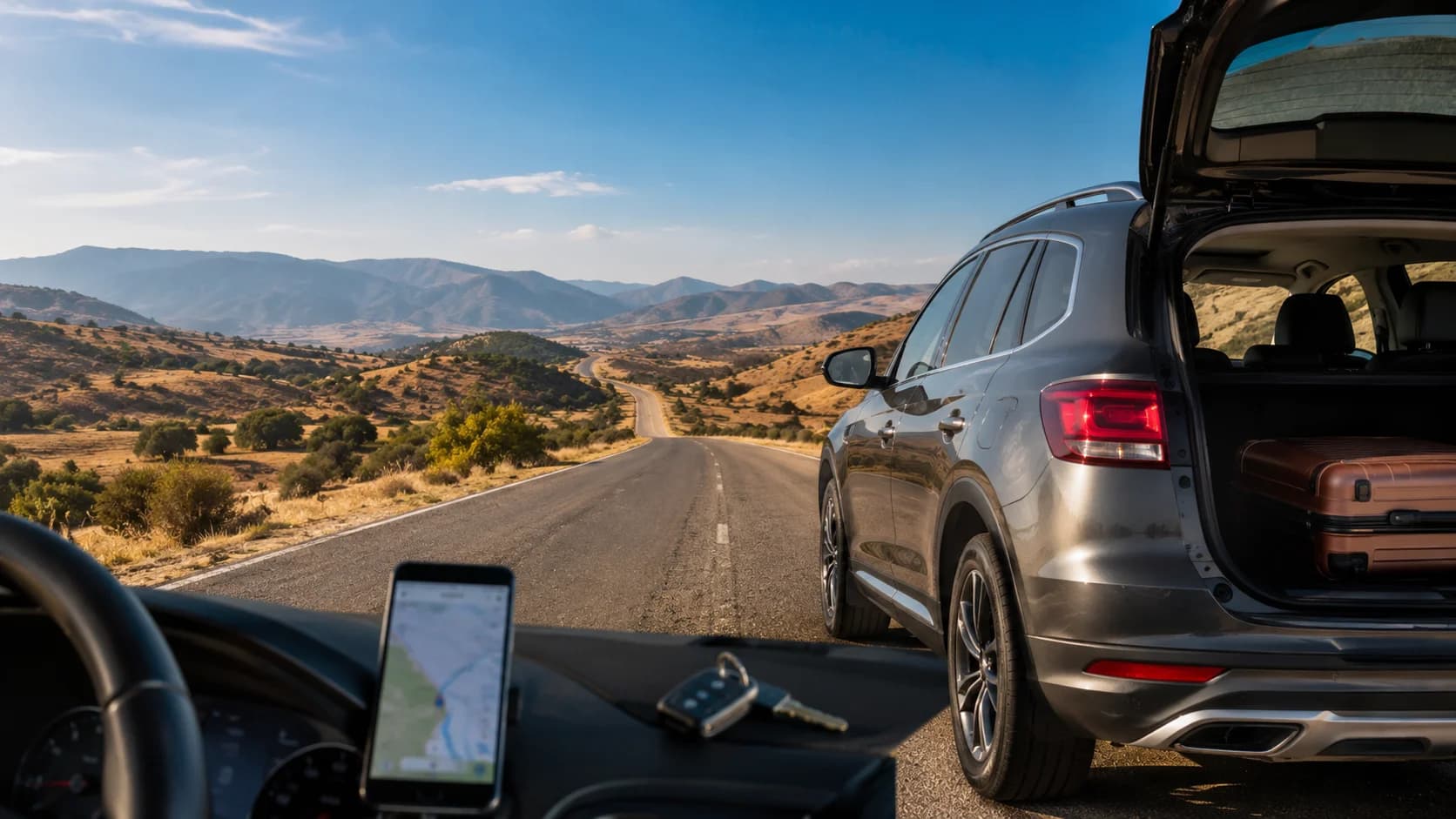
A phone mount is not just about comfort. It helps you keep your eyes on the road and avoid holding the phone while driving. Before leaving the pickup point, place your phone where you can see directions without blocking your view.
Set the route before moving. Turn on voice guidance if you like audio instructions. Check the volume, charging cable and screen brightness. If you are traveling with another passenger, let them handle route changes, searches and messages.
Do not try to type a new destination while driving. If you miss a turn, continue safely and let the app reroute. Sudden stops or last-second turns are more dangerous than taking a slightly longer route.
Pre-drive navigation checklist
Before driving from Fes, use this simple checklist:
Offline map downloaded for Fes and your full route
Mobile data or eSIM activated
Hotel, airport and return point saved
Phone battery charged
Charging cable connected
Phone mounted safely
Route checked before departure
Road signs and destination names reviewed
Fuel station checked if driving long distance
WhatsApp support contact saved
This small routine takes only a few minutes but can make your Morocco road trip much smoother.
Final Thoughts
GPS for driving in Morocco is reliable when you prepare properly. Google Maps works well in Fes and across main Moroccan roads, but offline maps, mobile data and local common sense make the experience much better.
The golden rule is simple: use your phone for navigation, but do not let it replace your eyes. Read signs, respect road conditions, avoid narrow medina lanes and always plan a backup.
If you want a smoother start to your journey, book your car with MarHire Car Fes, set your route before departure and keep 24/7 WhatsApp support available if you ever need directions. With the right map and the right rental, driving around Fes becomes much easier, calmer and more enjoyable.
FAQs
Does Google Maps work offline in Morocco?
Yes. Google Maps can work offline in Morocco if you download the map area in advance. Offline navigation can guide you while driving, but live traffic and alternate routes are not available without internet.
Do you need a SIM card to navigate in Morocco?
You do not strictly need one if you use offline maps, but a SIM card or eSIM is strongly recommended. It helps with live traffic, rerouting, hotel messages, WhatsApp support and searching for fuel stations or parking.
Is GPS reliable for driving in Morocco?
GPS is generally reliable on main roads, highways and city routes. It can be less precise in old medinas, mountain areas, rural roads or narrow streets, so always check signs and road conditions.
What is the best navigation app for Morocco?
Google Maps is the easiest option for most visitors. It works well for driving, saved places and offline maps. Some travelers also use Waze for traffic or Maps.me as a backup offline option.
Are road signs in Morocco in English?
Not usually. Road signs are commonly in Arabic and French. Major destinations are still easy to recognize once you know the French spelling of city names.
Why do journeys take longer than Google Maps says?
Driving can take longer because of traffic, roundabouts, police checkpoints, roadworks, mountain roads, parking delays or slow vehicles. Always add extra time, especially when leaving Fes or returning to the airport.
Should you rent a GPS or use your phone?
For most travelers, using your phone is easier. It is more familiar, updated and connected to your saved places. A built-in GPS can be useful as a backup, but your phone is usually the main tool.
Can you navigate to the Fes medina by car?
You can navigate to a nearby gate, parking area or meeting point, but not always directly to the door of a riad or restaurant. The medina has many narrow pedestrian streets, so final access is often on foot.
Does offline navigation use mobile data?
Offline navigation uses downloaded map data, so it can work without mobile data. However, live traffic, route changes, search results and updates need an internet connection.
What navigation backup should you carry?
Carry a charging cable, power bank, saved hotel address, screenshots of your route and the WhatsApp contact for your rental agency or accommodation. These backups are very useful if your phone loses signal or battery.